All 640 acres of Section 6 were patented to James Findlay
on 15 Nov 1807 when the land was still part of Butler County.
Findlay sold the west 320 acres to M. Morningstar on 7 Aug 1811 for
$3200 - see 1837 plat map. This Michael Morningstar
is believed to be the John George Michael
Morningstar who is buried in the cemetery in 1841. Warren
County probate records [Box 17] shows that his estate was entered into
probate on 8 Jun 1844. There was supposed to be a will that could
not be found, resulting in the estate ending up in court. Records
in the Warren County Recorders office list the transfer of the 320 acre
property from the estate of John George Michael Morningstar to sons
John, Jacob and Michael Morningstar on 11 Oct 1847 [Vol 28:352] as well
as 4 Sheriff sale entries on 12 Jan 1864 [Vol 41:366] from the estate,
all to Michael V. Poast.
|
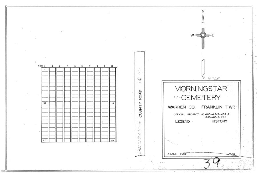
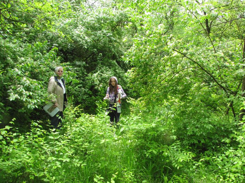
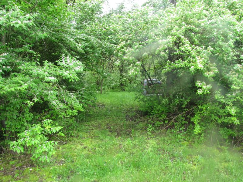
| Location: |
- Wooded area on privately owned 23.7 acre parcel at 7648 Franklin-Madison
Road (TR T-0004) about 1/2 mile south of Morningstar Road (TR T-0106).
The cemetery is about 100 feet due east of the junction with
Thomas Road.
- "Ohio Cemeteries 1803-2003" by the Ohio
Genealogical Society , Cemetery #12227 [Morningstar Cemetery]
This would appear to be the same
cemetery listed as the Barkalow Cemetery #1293 in Madison
Twp, Butler County, on the west side of Franklin-Madison Road which
is the county line between Butler & Warren County (S1-T2N:R4E)
- Coordinates: about 39°33'44.4"N, 84°21'50.9"W
- TRS: Range 5 East, Township 1 North, Section 6
|
| Links: |
|
| Transcriptions: |
- D.A.R. Turtlecreek Chapter & Warren County
Historical Society (available at the Historical Society Library)
- Warren County Genealogical Society
- Not in any of the currently published Cemetery
Books.
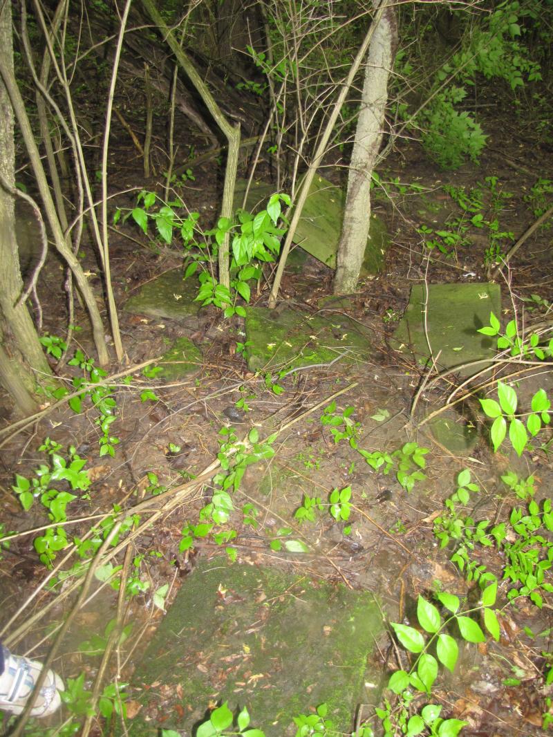
- Harriet Foley of Franklin and Kay Davenport of
Orem, Utah, read the cemetery on 9 Nov 2001 and found 10 gravestone
plus some footstones. The result of their efforts was published
in the Heir Lines Quarterly, Volume 20, Issue 4, Winter 2001, page
64
- Warren County Genealogical Society volunteers,
Harriet
Foley and Dana
Palmer
visited the cemetery on 14 May 2011 and photographed all extant
gravestones.
- Other Known Transcriptions
|
| Variant Names: |
- NONE KNOWN OF
[Butler County, Ohio Cemetery Records, Volume IX
done by Hazel Stroup in 1967 describes the location of a Barkalow
Cemetery as Wayne Township, on a farm once owned by William
C. Barkalow on Trenton-Franklin Rd near the overhead railroad bridge
near the Butler-Warren County line. This description would put
the cemetery in the vicinity of the Morningstar Cemetery.
The Stroup book lists 5 burials, none of which are included in the readings
of the Morningstar Cemetery. However, they are all found in the
Barkalow Cemetery on the Atlas Roofing
Company grounds in Franklin Twp, Warren County. A review of 19th
century entries in the Conveyance Book for Section 6 at the Recorders
office did not reveal any entries that would indicate a Barkalow owned
any part of section 6 during the 1800s.]
|