| Location: |
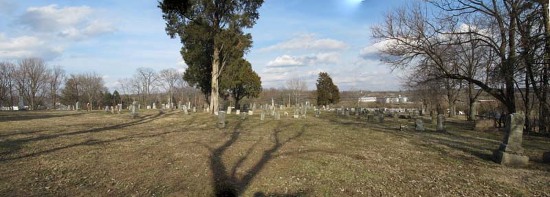
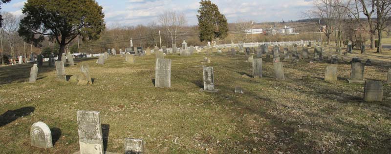
- The Kirby Cemetery is a 2.14 acre parcel located on
the west side of State Route 48 about 2 miles north of Lebanon and about
8/10ths of a mile south of State Route 122. The cemetery is maintained
by Turtlecreek Township who have erected this sign.
- "Ohio Cemeteries 1803-2003"
by the Ohio Genealogical
Society , Cemetery #12308 [Kirby-Turtlecreek Township Cemetery]
- Coordinates: 39° 28' 24"N,
84° 12' 08"W
- TRS: Township 4 East Range 3 North
Section 13 [northeast corner of Section 13]
|
| Links: |
|
| Transcriptions: |
|
| Variant Names: |
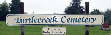
- The cemetery had always been known as the Kirby Cemetery
however the township has erected the above sign calling it the Turtlecreek
Cemetery.
It should not be confused with Friends Church cemetery on Waynesville
Road is also called Turtlecreek Cemetery..
|
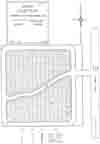 |
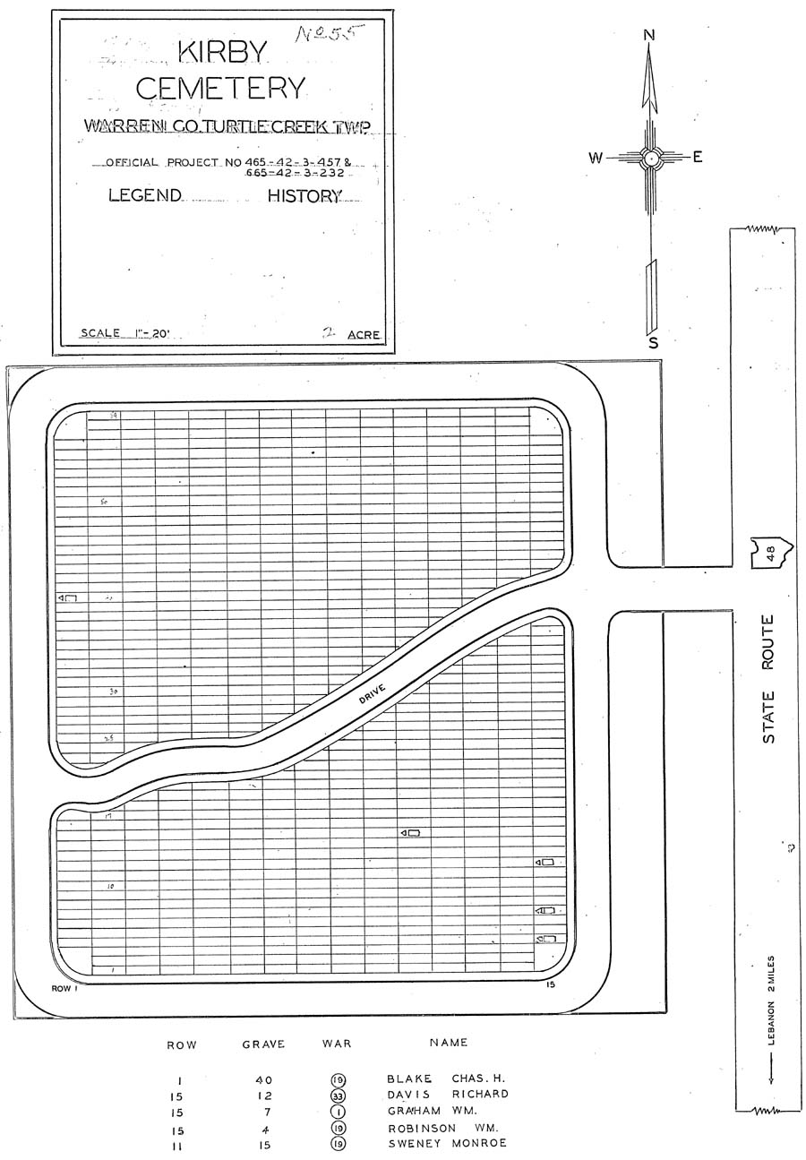
Plat of Kirby Cemetery
Cemetery #55 in the depression era WPA Veterans Grave Registration Project.
| Row |
Grave |
Name |
War Code |
Conflict Name |
| 1 |
40 |
Blake, Chas. H. |
19 |
Civil War |
| 15 |
12 |
Davis, Richard |
33 |
"Other Service" |
| 15 |
7 |
Graham, Wm. |
1 |
Revolutionary War |
| 15 |
4 |
Robinson, Wm. |
19 |
Civil War |
| 11 |
15 |
Sweney, Monroe |
19 |
Civil War |
|